Earth Day features chilly showers ahead of a warm up for the Lower Hudson Valley
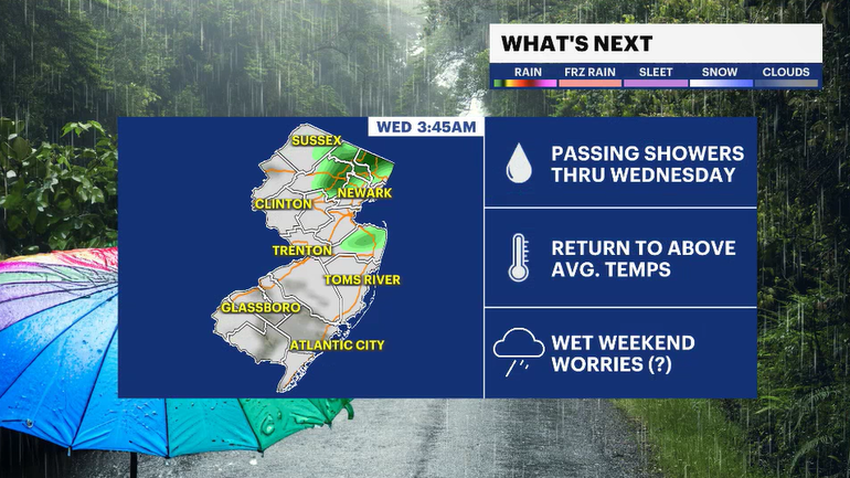
Grab the umbrellas and jacekts on Wednesday morning, midweek rain is followed by a brief warm up!
More Stories
The Lower Hudson Valley woke up to record cold temperatures Tuesday morning, with several locations setting new daily records. The temperature dropped to 27 degrees in White Plains, breaking the previous record of 29 degrees set in 1981. Other areas, including Poughkeepsie, Montgomery and Carmel, also recorded morning lows in the low to mid-20s, establishing new records for the date.
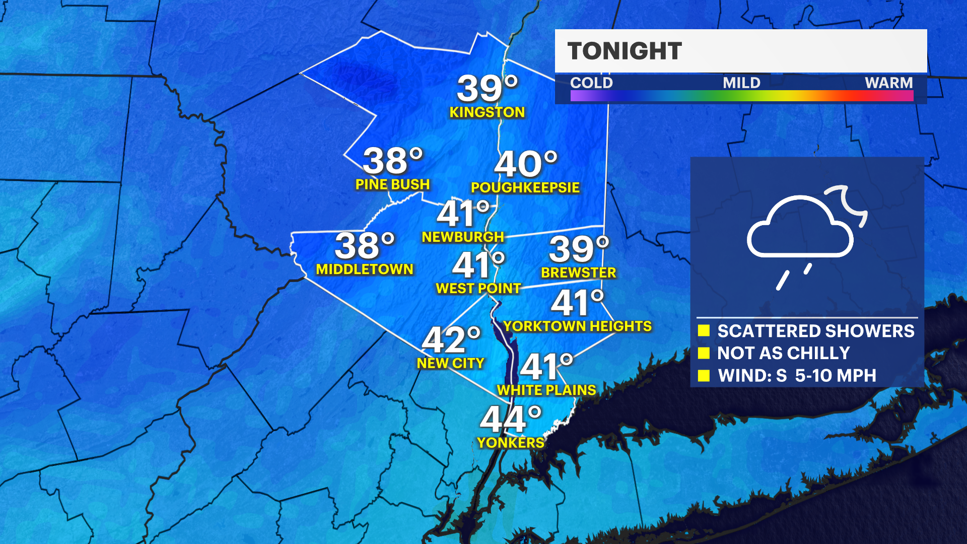
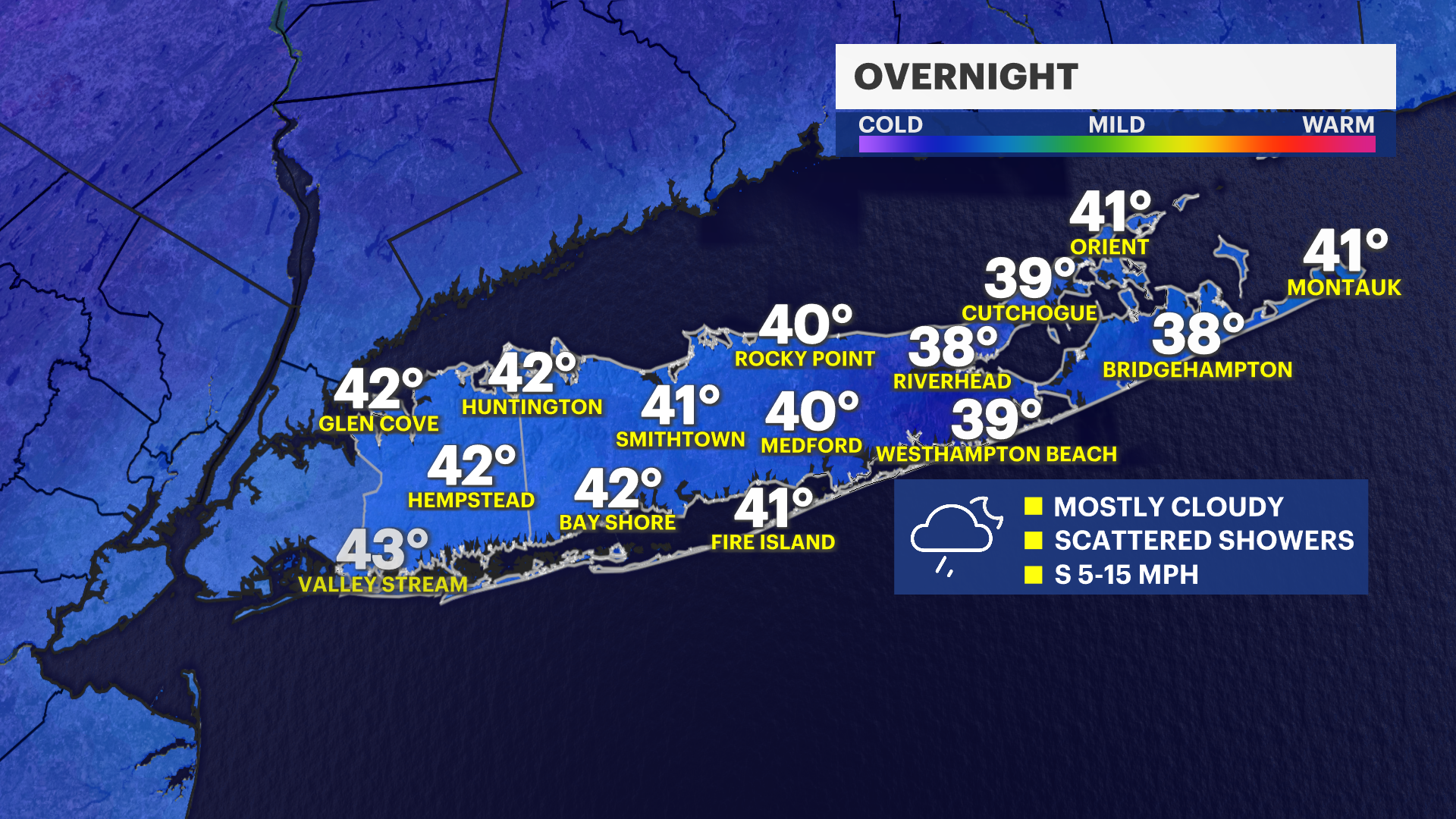
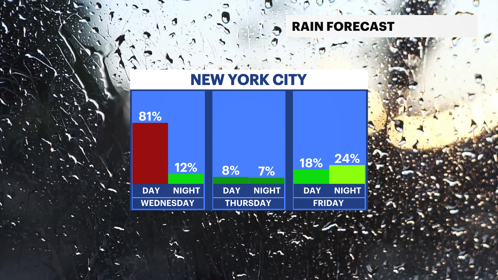
After a quiet but chilly day, the attention turns to tonight as clouds increase and scattered rain showers develop. Showers will continue overnight into Wednesday morning, leading to a damp start to the day. Temperatures will not be as cold as the previous night, with lows settling into the upper 30s to low 40s.
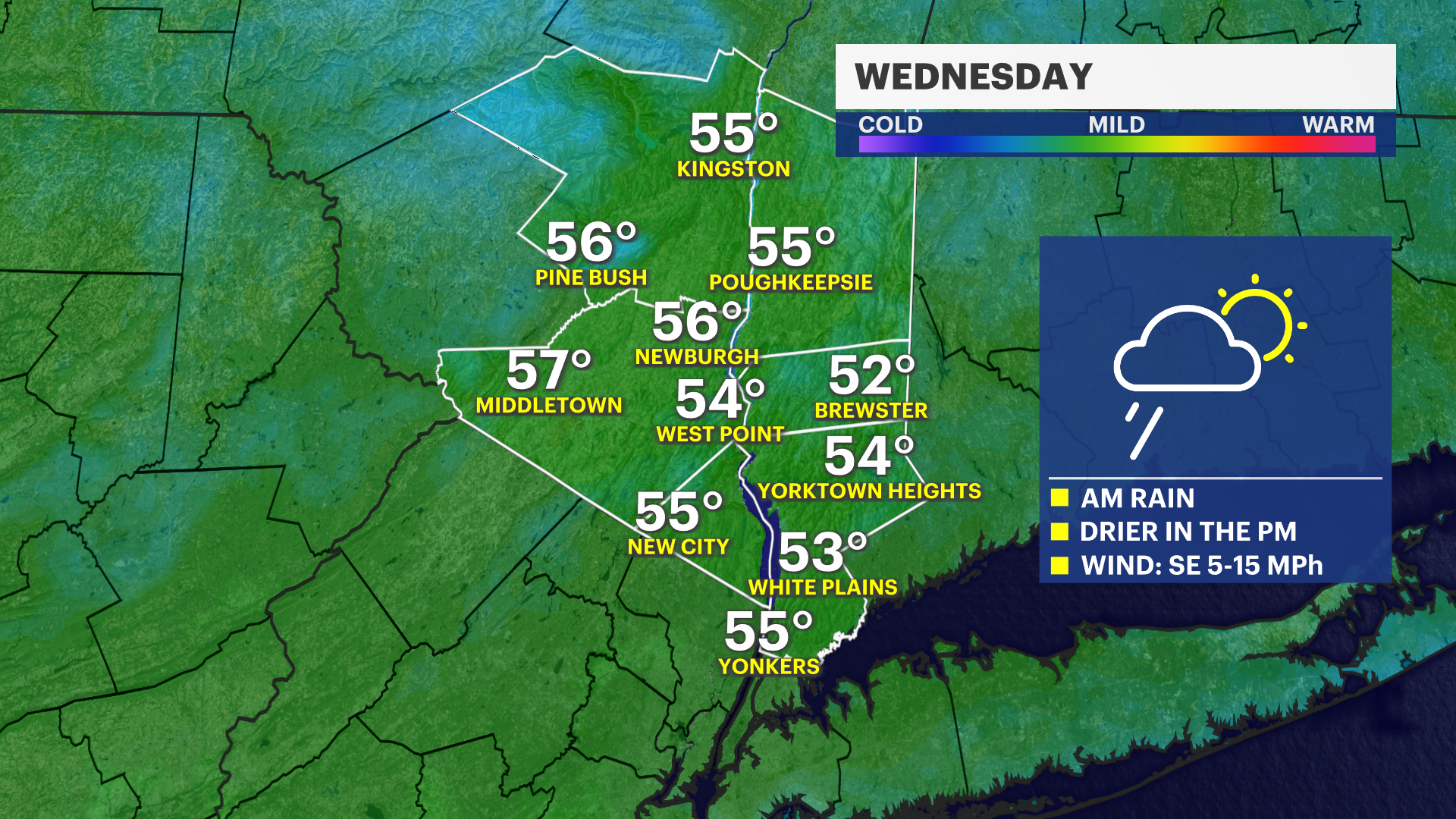
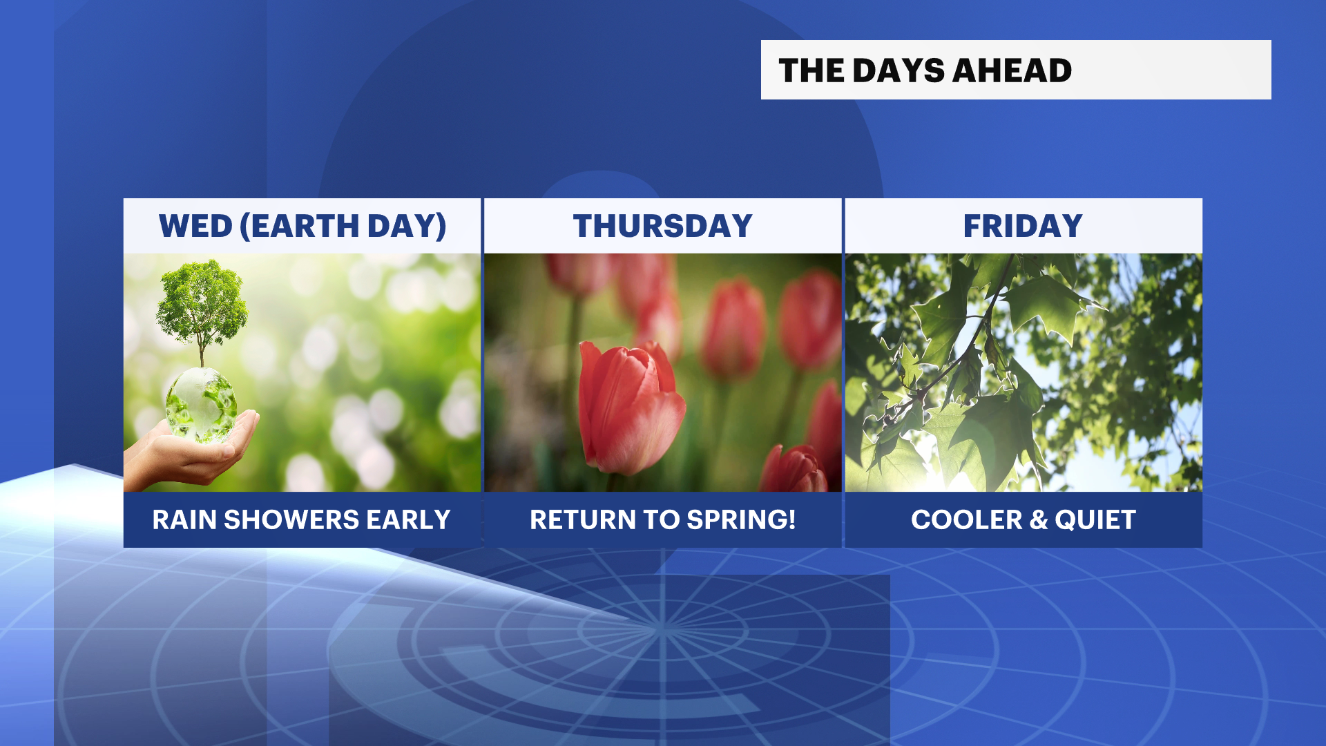
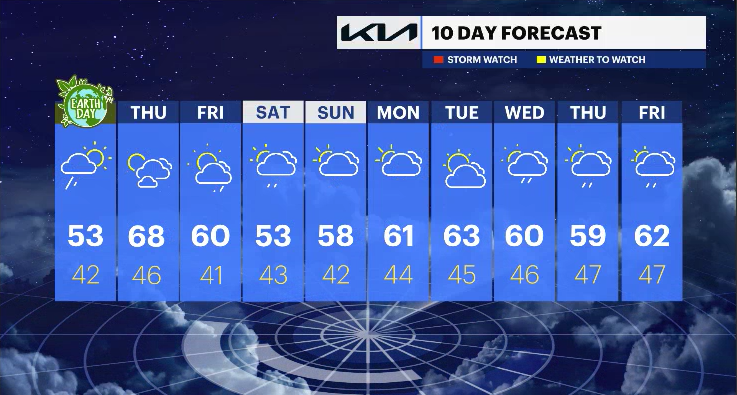
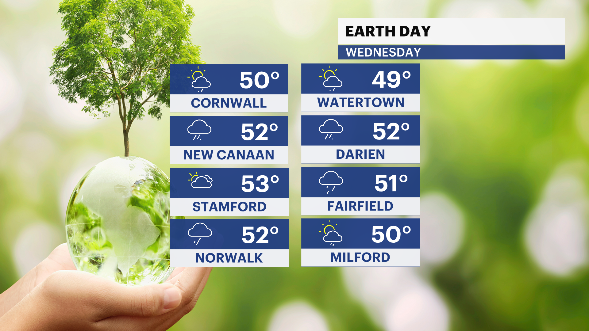
Wednesday (Earth Day): Showers linger through the morning hours before tapering off by midday. Some breaks of sunshine are expected in the afternoon, though it will remain cool with highs in the upper 50s.
Thursday: Conditions improve as temperatures climb. A mix of sun and clouds is expected, with highs reaching the upper 60s. It will be the pick of the week, with a milder feel across the region.
Friday: Temperatures ease slightly, with highs in the low 60s under a mix of sun and clouds. There is a chance for showers to develop late in the day into the evening.
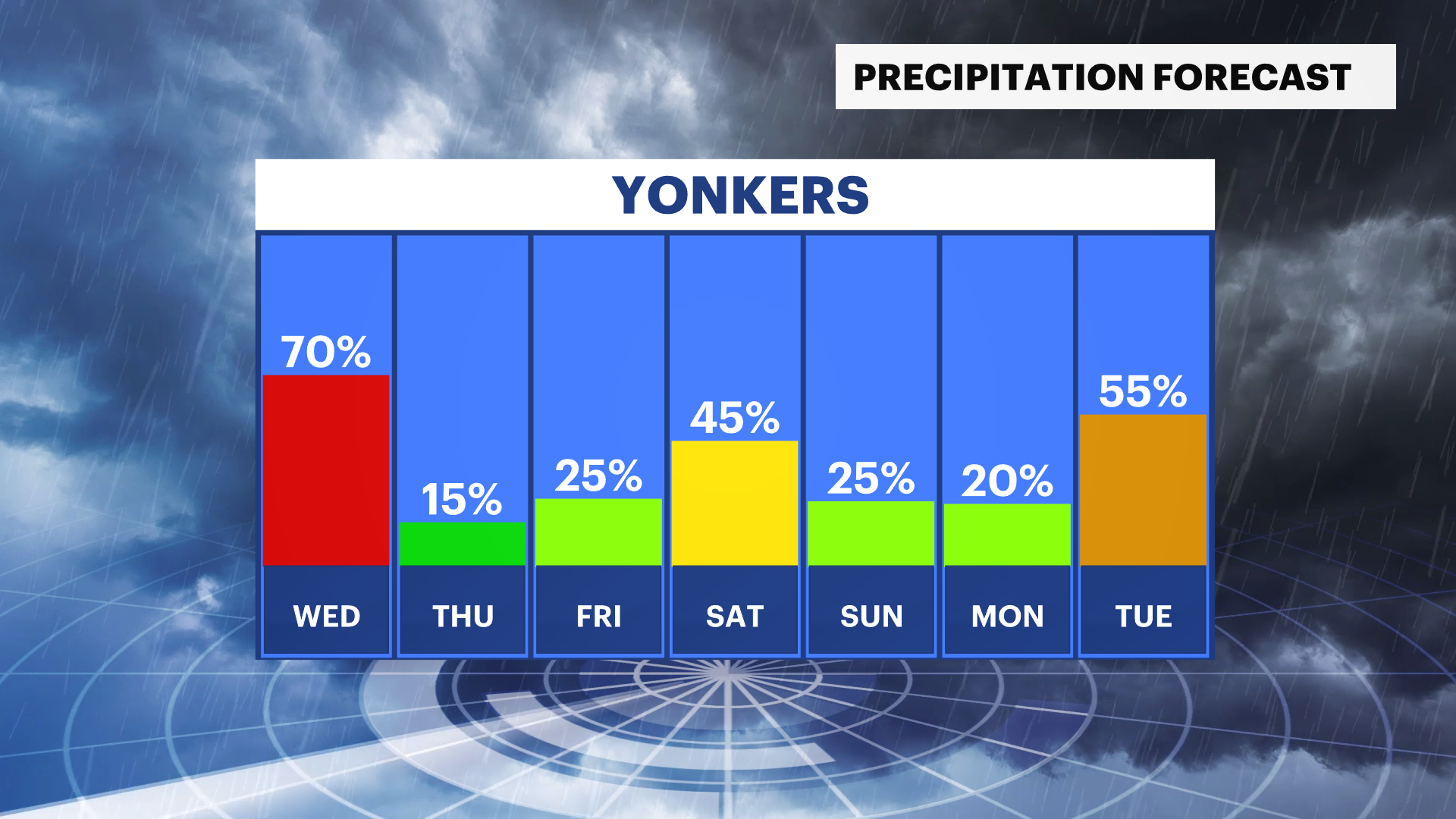
Weekend: An unsettled pattern returns. Expect more clouds and periodic chances for rain Saturday and Sunday, with cooler temperatures settling into the 50s.
Looking ahead to next week, a more variable pattern is expected, with fluctuations in both temperatures and rain chances.
THE FORECAST:
OVERNIGHT: Cloudy with scattered showers. Not as cold. Lows in the upper 30s to low 40s.
WEDNESDAY (EARTH DAY): Morning showers, then partial clearing. Highs in the upper 50s. Lows in the low 40s.
THURSDAY: Mix of sun and clouds. Milder. Highs in the upper 60s. Lows in the mid-40s.
FRIDAY: Partly to mostly cloudy. Chance of late-day showers. Highs in the low 60s. Lows in the mid-40s.
SATURDAY: Partly sunny, then increasing clouds. Chance of afternoon and evening showers. Highs in the low 50s.