Cool, windy start to the weekend followed by a steady warmup into next week for Brooklyn
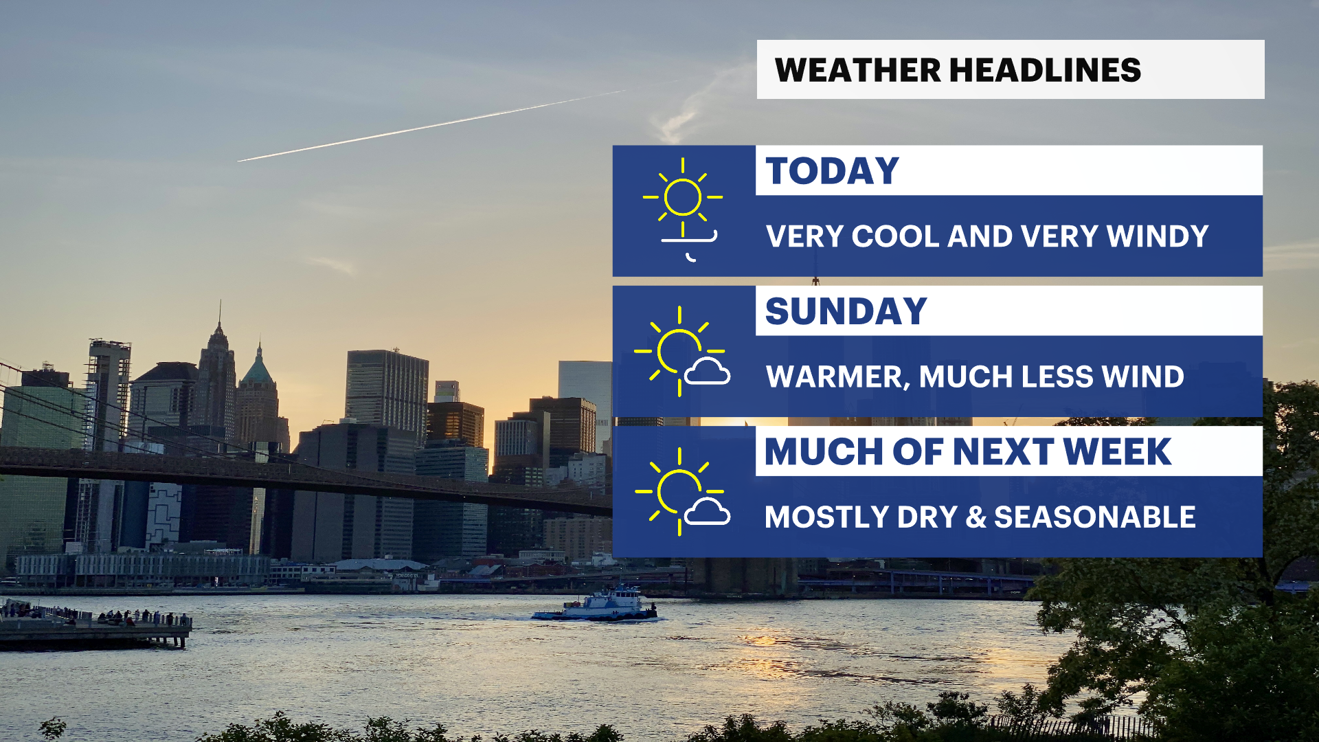
Gusty winds and below-average temperatures Saturday give way to sunshine, comfortable weather through midweek, and summer-like warmth by Thursday and Friday.
More Stories
WHAT TO KNOW
Saturday:
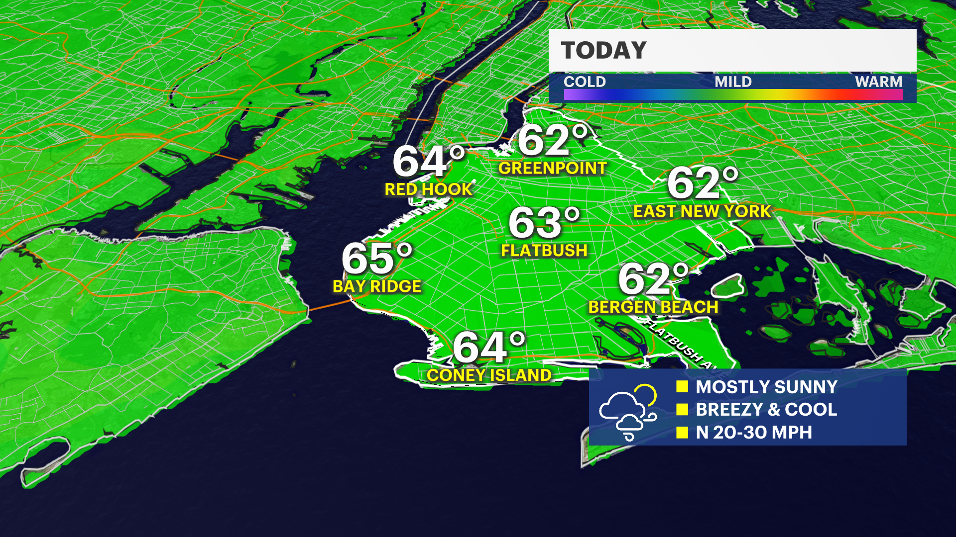
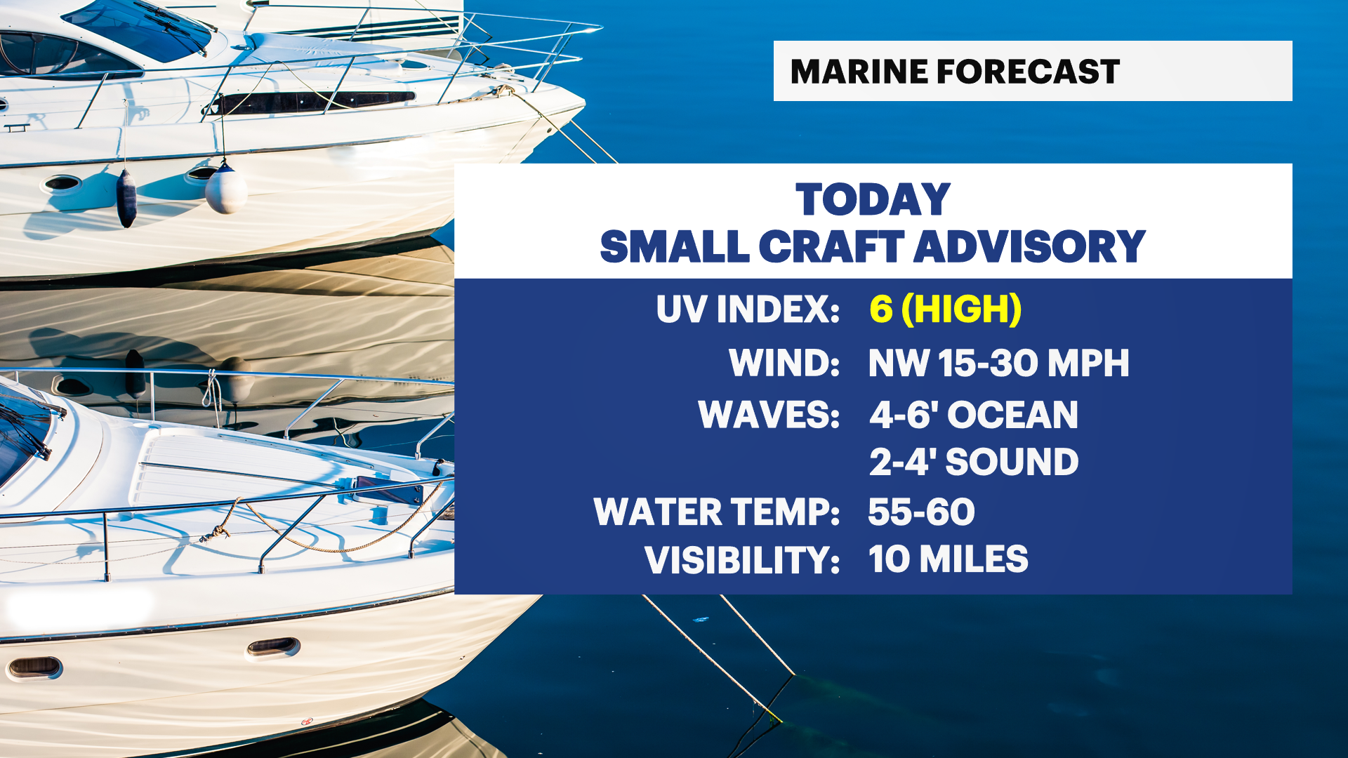
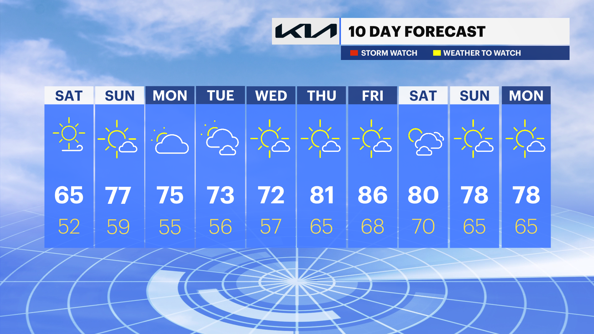
Mostly sunny, but noticeably cooler than recent days, with afternoon temperatures ranging from the low to upper 60s. A strong north wind will make it feel even cooler at times, especially near the waterfront and along east-facing shorelines. Wind gusts could frequently reach 25 to 35 mph, with a few stronger gusts possible. If you're spending time outdoors, consider dressing in layers and bringing a light jacket or windbreaker. Secure loose outdoor items as the gusty winds may toss around lightweight furniture, umbrellas and trash cans.
Saturday night:
Clear and cool with temperatures falling into the low to mid-50s. Winds gradually diminish overnight, making for a comfortable but somewhat chilly evening. A light jacket will likely be needed for outdoor activities after sunset.
Sunday:
Sunny and much warmer with temperatures climbing into the mid- to upper 70s. Winds will be much lighter, creating a beautiful early summer day across the city. Comfortable humidity levels and abundant sunshine will make for excellent conditions for outdoor events, parks, and dining. Sunscreen is recommended for extended time outdoors.
Sunday Night:
Increasing clouds, with temperatures settling into the upper 50s to low 60s. Mild conditions continue with no significant weather concerns.
Monday:
Mostly sunny for much of the day, with temperatures reaching the mid- to upper 70s. A few scattered showers could develop during the afternoon, but many locations will remain dry. Keep an umbrella nearby if you'll be outside later in the day, although this does not look like a washout. Comfortable clothing should be sufficient, with humidity remaining near seasonal levels.
Tuesday:
A mix of sunshine and clouds, with temperatures in the low to mid-70s. Similar to Monday, a few isolated afternoon showers are possible, but widespread rain is not expected. Outdoor plans should generally be fine, though it's wise to keep an eye on the sky during the late afternoon.
Wednesday:
Mostly sunny and seasonably pleasant, with temperatures in the low to mid-70s. Any shower activity should remain isolated and mainly away from the city. A comfortable day overall, with moderate humidity and light winds.
Thursday:
Sunny and warmer, with temperatures rising into the low to mid-80s. Humidity remains manageable, making for a pleasant summer-like day. Lightweight clothing and sunscreen are recommended if spending extended time outdoors.
Friday:
Mostly sunny and quite warm, with afternoon temperatures reaching the mid- to upper 80s. It will feel more like summer as a warming trend takes hold heading into the weekend. Stay hydrated if working or exercising outdoors during the hottest part of the day.
Beach & Coastal Concerns:
A moderate risk of rip currents continues at area ocean beaches through Sunday. Even though weather conditions may appear calm, dangerous currents can develop unexpectedly. Swim only where lifeguards are present and exercise caution if entering the water.
Additionally, the combination of the upcoming full moon and elevated water levels could lead to isolated instances of minor coastal flooding around the evening high tides this weekend, particularly in vulnerable shoreline and back-bay locations. Any flooding issues should be minor and localized.