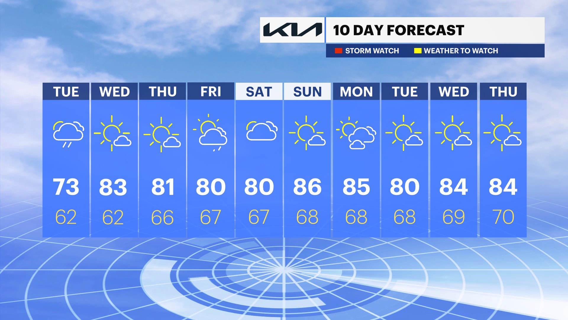
Humid with a few afternoon showers and storms
Warm and humid with highs in the 80s. A few spotty afternoon showers and thunderstorms. Most of the day will be dry.
More Stories


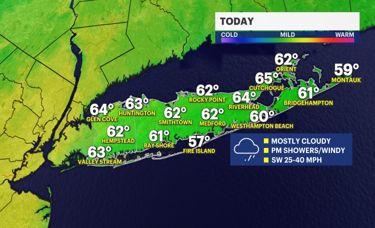
Today's forecast features a partly sunny sky across Long Island, with periods of mostly cloudy skies at times. While much of the day will stay dry, a few pop-up showers and perhaps a thunderstorm could develop during the afternoon. Most neighborhoods will see more dry time than wet weather, so don't let the chance of a brief shower keep you from your outdoor plans. High temperatures will reach the upper 70s to lower 80s across Suffolk County, while Nassau County warms into the mid-80s, with a few spots possibly touching the upper 80s to near 90 degrees.
Tonight, any isolated shower activity quickly fades away, leaving behind partly cloudy skies and a comfortable night. Lower humidity will make for pleasant sleeping weather, with overnight lows settling into the 60s across much of the region.
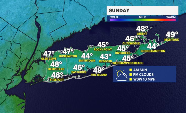
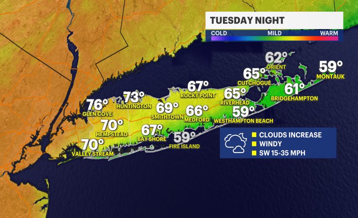
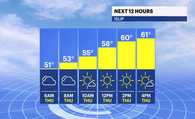
Thursday looks like the pick of the week, with mostly sunny skies and beautiful summer weather. It will be warm, but not overly hot, with afternoon highs in the upper 70s to lower 80s. Sunshine continues into Friday, with highs in the lower 80s inland and cooler readings in the 70s along the beaches thanks to the afternoon sea breeze.
Looking ahead to the weekend, Saturday is shaping up to be another fantastic summer day with mostly sunny skies and highs in the lower 80s. Sunday brings a mixture of sunshine and clouds, but it remains warm and pleasant with temperatures climbing into the 80s. At this point, the weekend looks favorable for outdoor plans, with no widespread rain expected.