Sunny and mild through the weekend in the Bronx; coastal storm threat emerges for Sunday night
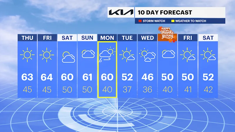
Highs climb through the 60s with near 70 degrees warmth Friday before forecasters monitor a potentially impactful coastal storm late Sunday into Monday.
More Stories



Brooklyn Information
Forecast:
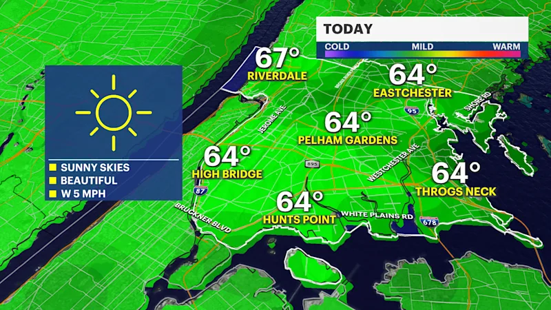
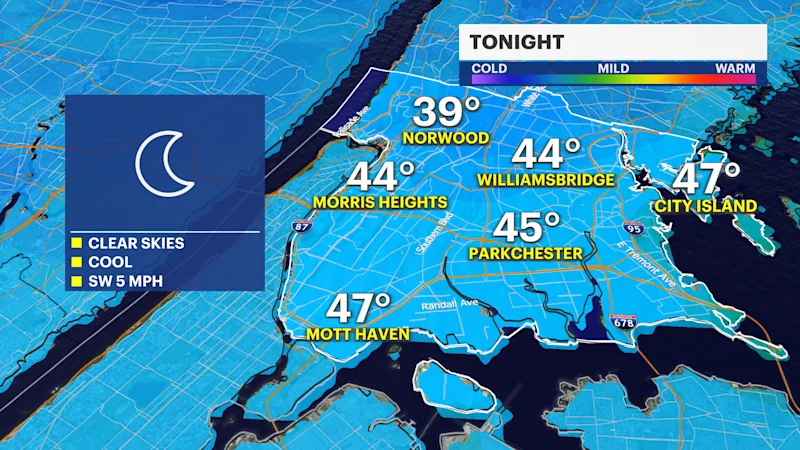
A stretch of beautiful late-fall weather continues across the Bronx through Saturday as high pressure remains firmly in control. Expect plenty of sunshine, low humidity, light winds, and dry conditions each day.
Afternoon temperatures will reach the lower to middle 60s through the weekend, with Friday expected to be the warmest day of the stretch. Some neighborhoods could approach 70 degrees during the afternoon under abundant sunshine.
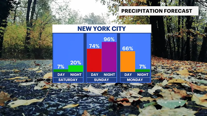
Confidence remains high in the dry forecast through Saturday. Forecast confidence decreases late Sunday into Monday as meteorologists continue tracking a developing coastal low-pressure system along the East Coast.
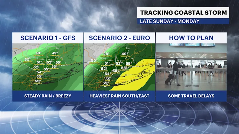
There is growing confidence that coastal areas could experience impacts from this storm, including periods of rain and gusty winds. However, uncertainty remains regarding the exact track. A more offshore solution would limit rainfall and keep winds lower. A track closer to the coast would increase the risk for heavier rain, stronger winds, and travel disruptions.
Should the storm track closer to the region, wind gusts of 30 to 40 mph would be possible, with isolated gusts approaching 50 mph. Rainfall totals could range from 1 to 2.5 inches, with the highest amounts most likely closer to the coast.
The most important timeframe to watch remains Sunday afternoon through Monday morning.
Bottom Line:
Sunny, dry, and mild weather continues through Saturday. Have a backup travel plan ready for Sunday as a coastal storm could bring heavy rain, gusty winds, and potential delays late Sunday into Monday.