Bitter cold blast hits the tri-state - but where did it come from?
Bitterly cold weather that's more typical of mid-winter than mid-November is blasting the tri-state. Digital Meteorologist Geoff Bansen looks at its origins.
News 12 Staff
•
Nov 11, 2019, 7:31 PM
•
Updated 1,621 days ago
Share:
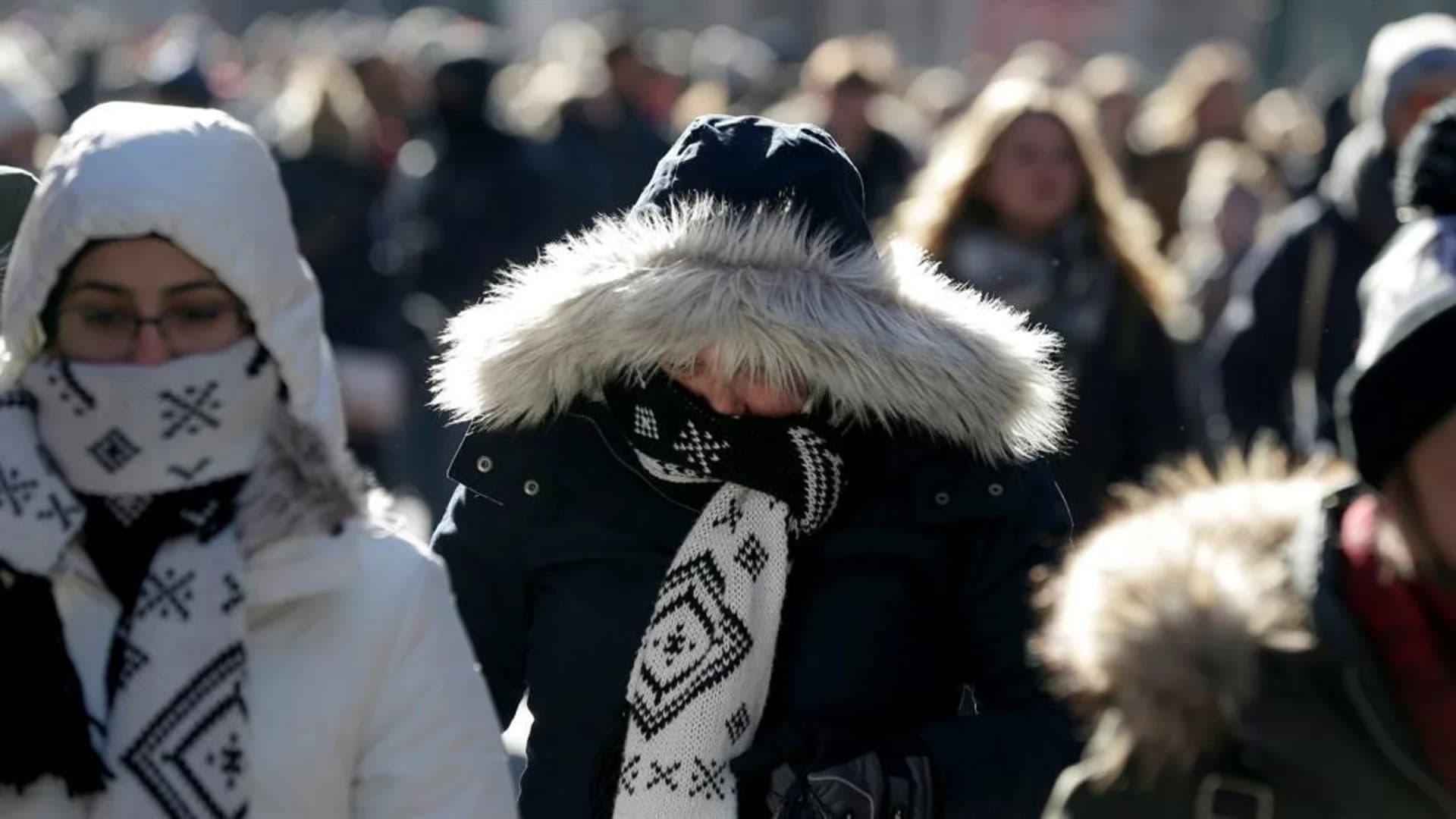
Bitterly cold weather that's more typical of mid-winter than mid-November is blasting the tri-state this week.
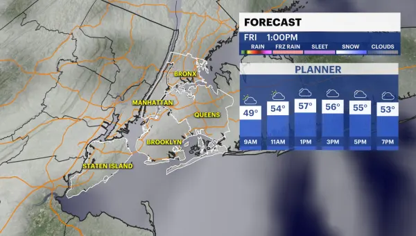
After a mild start to the week, temperatures took quite the tumble, with most of the area setting new cold temperatures records.
High temperatures on Wednesday struggled to reach the freezing point, something we are much more likely to see happen in January or February.
But it's not the dead of winter, so where did this unseasonable November chill coming from?
You can probably guess that it comes from somewhere way up north where the air gets cold (there's a song there somewhere). Well, we now have the technology to pinpoint exactly where an individual parcel of air originates and track where it goes.
The NOAA HYSPLIT model is just one of several that is able to compute this, as well as how the air parcel disperses and changes chemically. As you can see in the tweet above, the arctic air from the first cold snap in November started in northern Canada and took a loop over the Hudson Bay before plunging southward over Quebec, Ontario, and New York state before winding up over New Jersey. Pretty neat, eh?
This technology is also very useful in tracking and forecasting pollutants and hazardous materials, such as radioactive material, wildfire smoke, windblown dust, plant emissions, volcanic ash and even allergens.