Newark Information
☀️
UV Index Today
--
Loading...
🍃
Air Quality
--
Loading...
🌡️
Average High / Low
-- / --
1991-2020 Normals
EWR Climate
🏆
Record High / Low
-- / --
Loading...
EWR Climate
Loading latest Newark information...
Check coastal alerts and tide information
FORECAST:
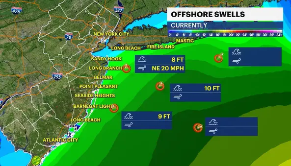
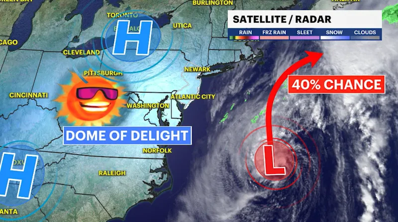
A strengthening storm less than 300 miles from the New Jersey shoreline will continue to churn up the ocean and send large waves towards the coastline. Waves from 9 to as much as 12 feet will pound at the beach and take away mounds of sand with it. This system will not be as impactful as the nor'easter was a few weeks back, but the New Jersey waterfront has been left very vulnerable from that last storm. More wave action will disintegrate the beaches even more.
The Dome of Delight is anchoring the forecast to very quiet, seasonable conditions.
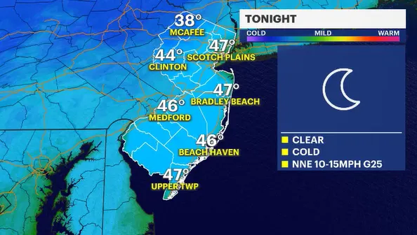
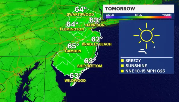
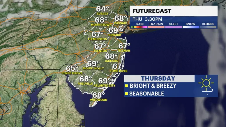
The next few days will be clear and chilly at night. Sunny skies will warm the afternoons back to near seasonable temperatures. North-northeast winds will be very gusty. This should be the only complication in the forecast. It could more than likely keep temperatures from warming up too much despite the abundance of sun.
FUTURECAST:
TIDES:
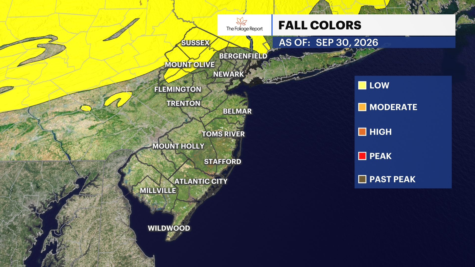
FOLIAGE UPDATE (New report every Wednesday):