Nor'easter will bring snow, wind and coldest temperatures yet
<p>A nor’easter is brewing offshore and will brush against the city providing more than just a coating of snow through Thursday, Meteorologist Mike Rizzo says.</p>
News 12 Staff
•
Jan 3, 2018, 11:23 AM
•
Updated 2,312 days ago
Share:
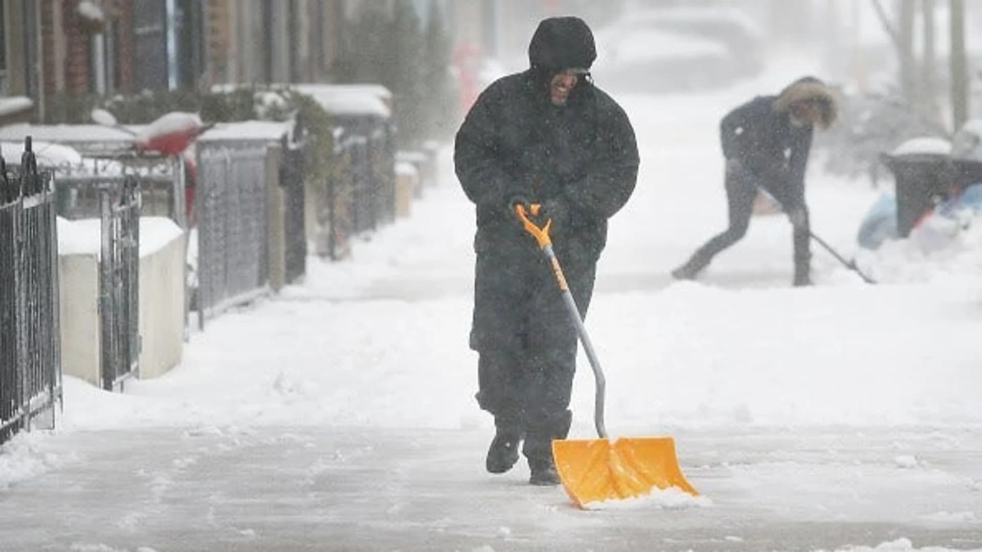
A nor’easter is brewing offshore and will brush against the city providing more than just a coating of snow through Thursday, Meteorologist Mike Rizzo says.
As of Wednesday morning, the snowstorm is moving across northern Florida and will begin moving into the ocean where it will intensify into a powerful coastal storm.
The nor'easter will move up along the coast providing impacts to the Eastern seaboard.
By the time it makes its closest approach to New York City, the largest impacts of the storm will be isolated to coastal areas along New Jersey, Eastern Long Island, and coastal Connecticut. Although impacts for the city are not expected to be major, they are expected to be moderate. Minor impacts are expected for areas north and west.
Cold air is in place and will support an all-snow event. Snow showers will begin near 2 a.m. and snow will reach the ground by 4 a.m.
The wind will pick up, and gusts can exceed 35 mph. Sustained winds will be northeasterly at 15-25 mph.
A Winter Storm Watch is in effect for all five boroughs as blowing snow and ‘plowable’ snow is expected. News 12 meteorologists forecast 2-5 inches for the city with highest amounts likely to be isolated toward Eastern Queens and Southeastern Brooklyn.
Temperatures then tumble big time going into the weekend. This will likely be the coldest air of the season so far with Friday morning’s feel like temperatures at 10 to 15 degrees below zero. Highs are expected to remain in the teens.