Snail-slow thaw across the tri-state
A coating of ice hardened the top layers on snowfall as ice fell during the last phase of the storm. This along with dangerously cold temperatures and a low sun angle are to blame for the lack of snow melt.
More Stories
Heaps of snow and ice have seemingly positioned themselves as - almost - permanent artworks in a museum gallery for what seems like months following the Jan. 25 snowstorm.
The significant snow accumulations across the tri-state has laid frozen in time in a literal sense.
A coating of ice hardened the top layers of snowfall as ice fell during the last phase of the storm. This, along with dangerously cold temperatures and a low sun angle, is to blame for the lack of snow melt.
Mounds of snow and black ice have coated the area since the storm, and temperatures haven't helped as the coldest arctic air of the season encompassed the region this last weekend.
Bitter wind chills hovered near negative 20 degrees in Central Park Sunday, Feb. 8.
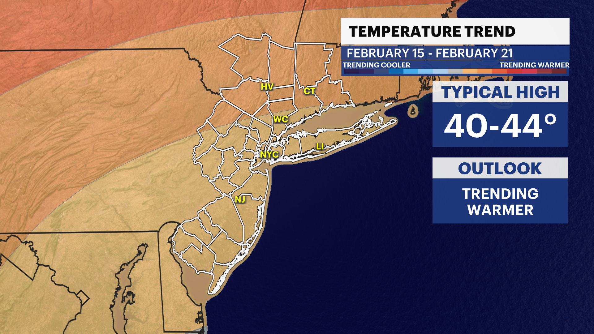
Hope floats as temperatures rebound above freezing this week. Could a string of mid-30s to 40s highs this week cause the great thaw of 2026? Unfortunately, no.
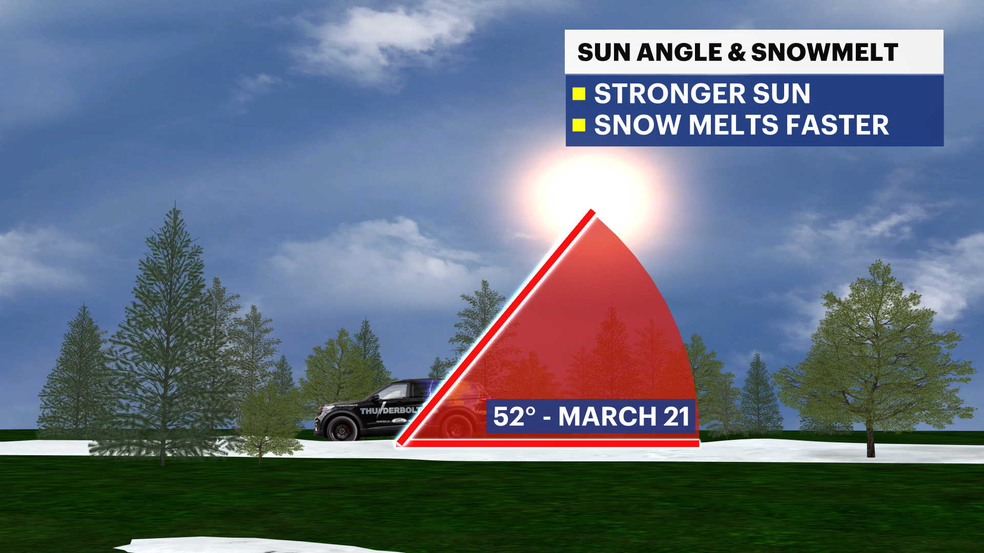
Our greatest chance for the best snowmelt rate with sun angle influence and warmer temperatures will be delayed until mid-March.
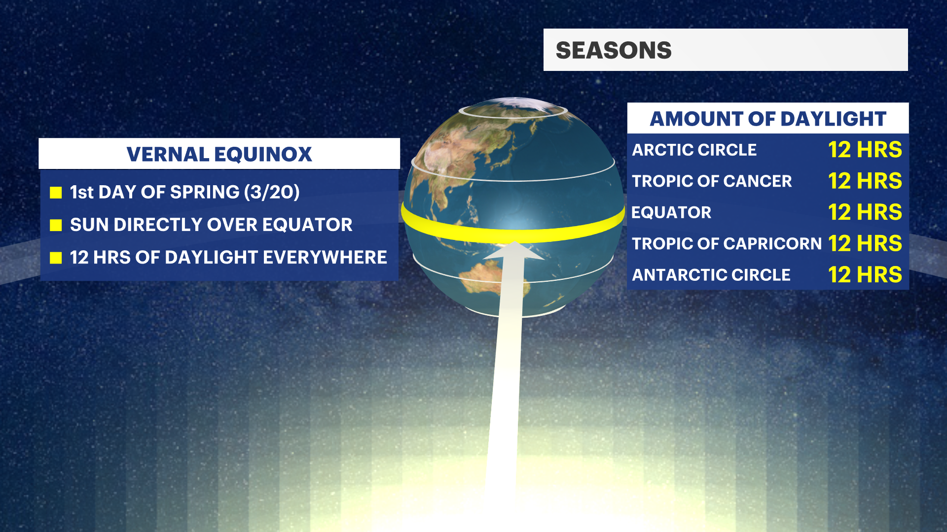
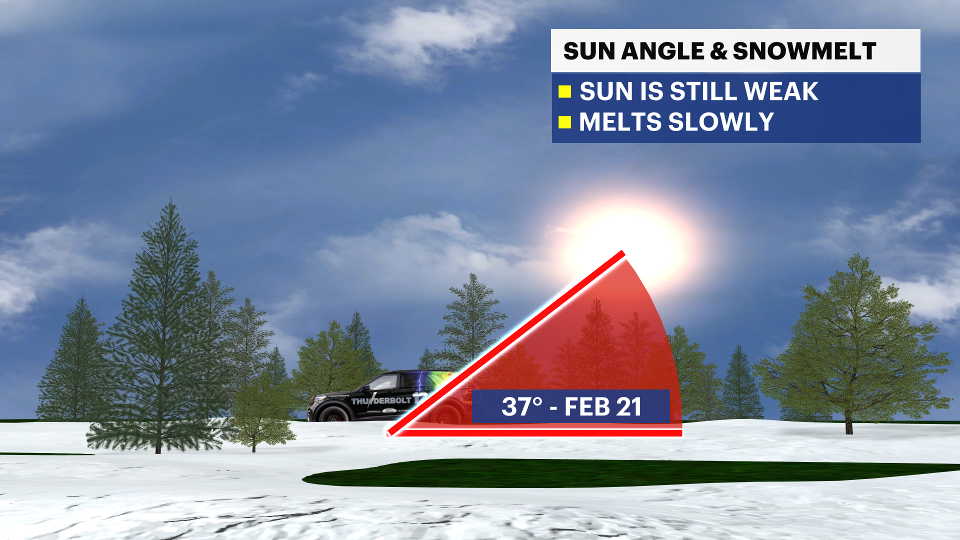
There is a proportional relationship between sun angle and snowmelt. The higher the sun angle, the more effective the snowmelt occurrence. We are on the low or weak sun angle spectrum and therefore, snowmelt seems to be at a standstill. As we approach the vernal equinox on March 20, the sun repositions exactly above the equator.
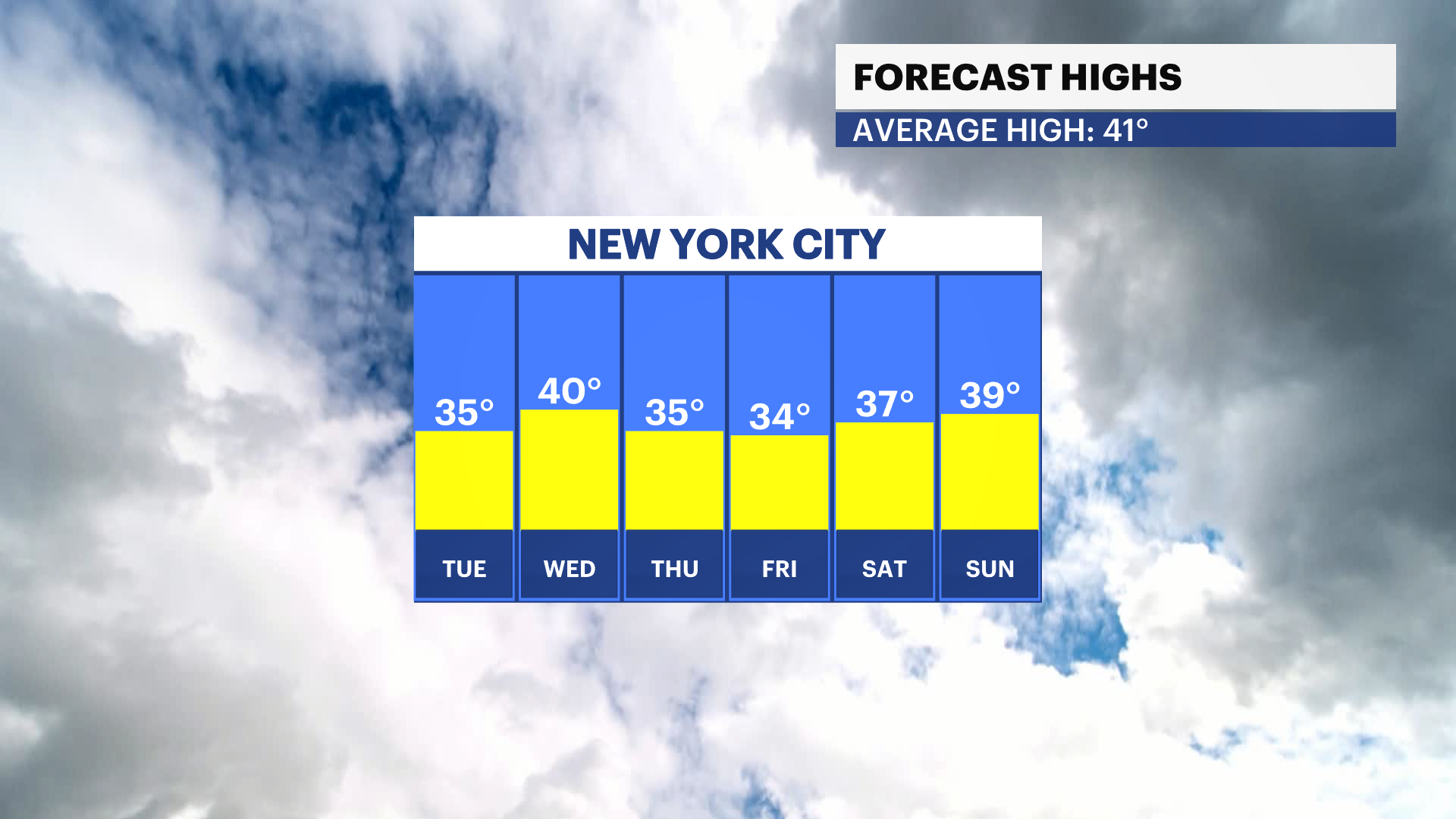
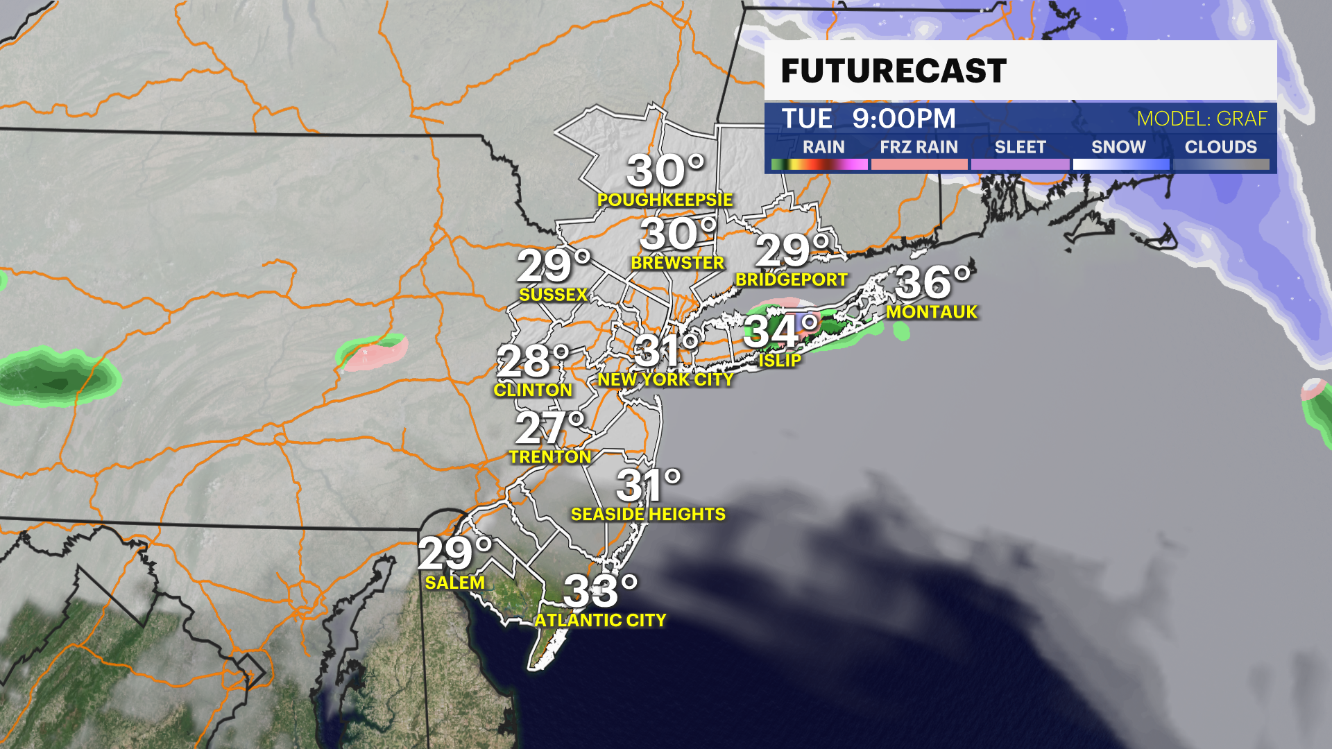
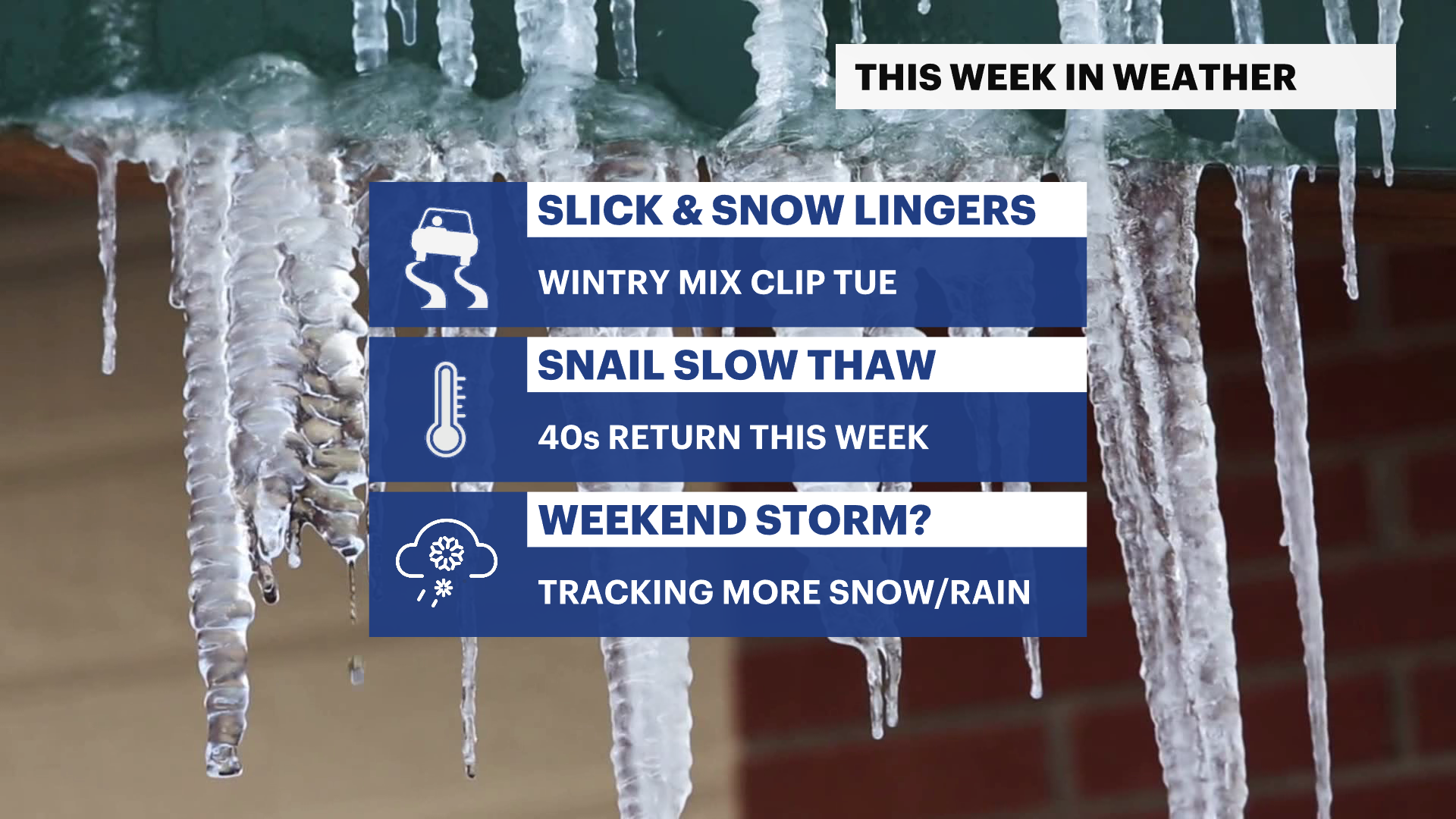
In the near term, our warmer, daytime temperatures have very little influencing snow melt rate. There's no anticipation of snowmelt flooding this week. What we are tracking is a quick wintry mix clip on Tuesday afternoon and evening, and another potential storm nearby on Sunday.

Expect the mounds of "resistant" snow and ice to linger. Be mindful of slick, untreated surfaces, especially as reformation of black ice could occur throughout the slow thawing process in the coming weeks.
Blades of grass may be visible as late as the second or third week of March.
