Hurricane Hunters assisting in tracking expected winter storm across tri-state
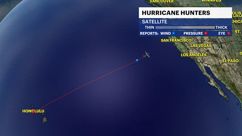
NOAA sends Hurricane Hunters over Pacific Ocean to receive extra weather data for computer models.
More Stories


NOAA Hurricane Hunters are most known for flying into hurricanes to gather weather data, which leads to better forecasting. The information it obtains goes into computer models, which helps track and better understand the intensity of a storm. The same is true for winter storms.
Ahead of this weekend's tri-state winter storm threat, NOAA is sending Air Force reconnaissance flights over the Pacific Ocean to retrieve data we typically don't have every day from radiosondes.
Radiosondes are devices used to measure weather data in the atmosphere. This data will determine how much energy and moisture there will be for storm development over the next three days.
STORM WATCH FORECAST: Confidence increasing for a disruptive weekend winter storm
Each day, hundreds of radiosondes are released up into the atmosphere from around the world, collecting data, which is then ingested into computer models that meteorologists use for forecasting storms.
The additional data will help forecast models like the GFS (American Model) and the ECMWF (European Model) be a little bit more reliable and accurate.
The new data has been added into some of the models already and the current forecast has changed a little with a more northerly track.
On the current track, the tri-state could see a major snow event.
The northern track also brings rain and a wintry mix along the Jersey shoreline and potentially into parts of Long Island. This would lower snow totals, but potentially cause even icier conditions. This is something we will watch for you very closely. The weather models update every six hours.
Stay with News 12 for the very latest hyperlocal STORM WATCH weather information throughout the week.